The Cartographer's Illusion: How Maps Have Always Distorted Power
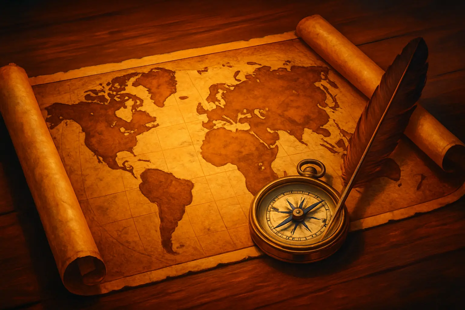
Long before the era of satellites and GPS, maps were never neutral documents. They were — and, many historians now argue, have always been — instruments of ideology, tools through which empires imposed meaning onto territory, erased inconvenient populations, and projected ambitions that had no basis in geographical reality. To read a historical map carefully is to read the intentions of its maker at least as much as it is to read the land itself.
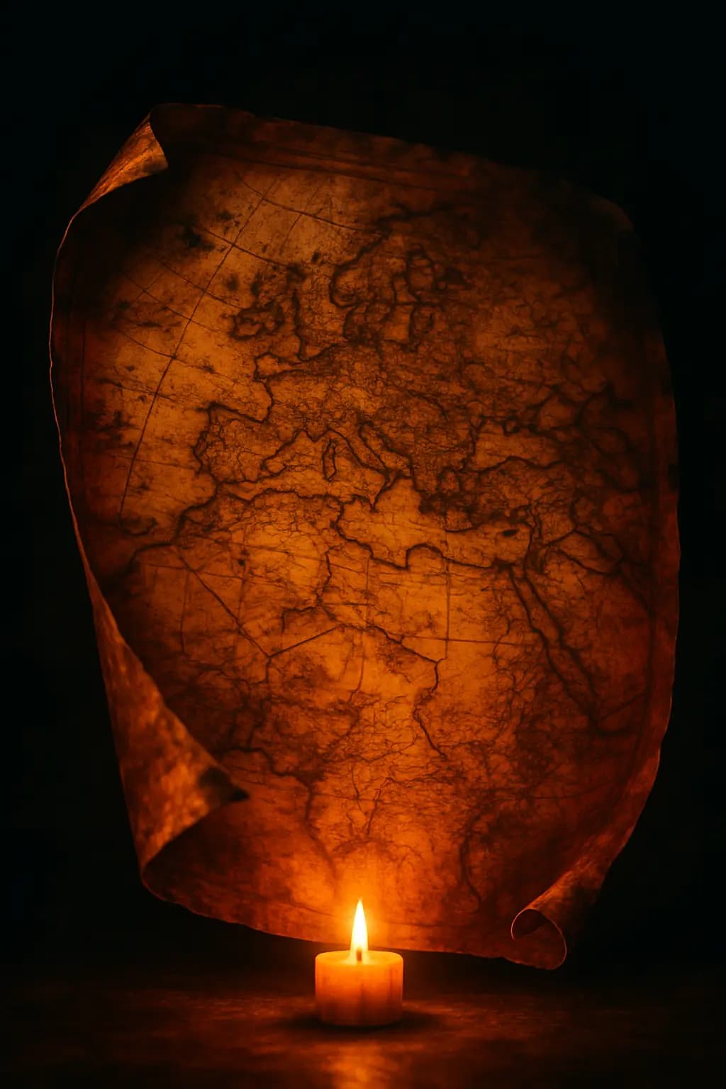
The most enduring illustration of this principle is the Mercator projection, devised by the Flemish cartographer Gerardus Mercator in 1569. Designed primarily to assist maritime navigation, the projection preserves the accuracy of compass bearings at the cost of distorting landmass sizes relative to latitude. The practical consequence — one that went largely unremarked for centuries — is that Europe appears roughly the same size as South America, when in reality South America is nearly twice as large. Greenland looms as a territorial giant comparable to Africa, when Africa is in fact fourteen times its size. These distortions were not born of malice, but their persistence long after alternative projections became available speaks to the comfort powerful nations derived from seeing themselves enlarged at the centre of the world.
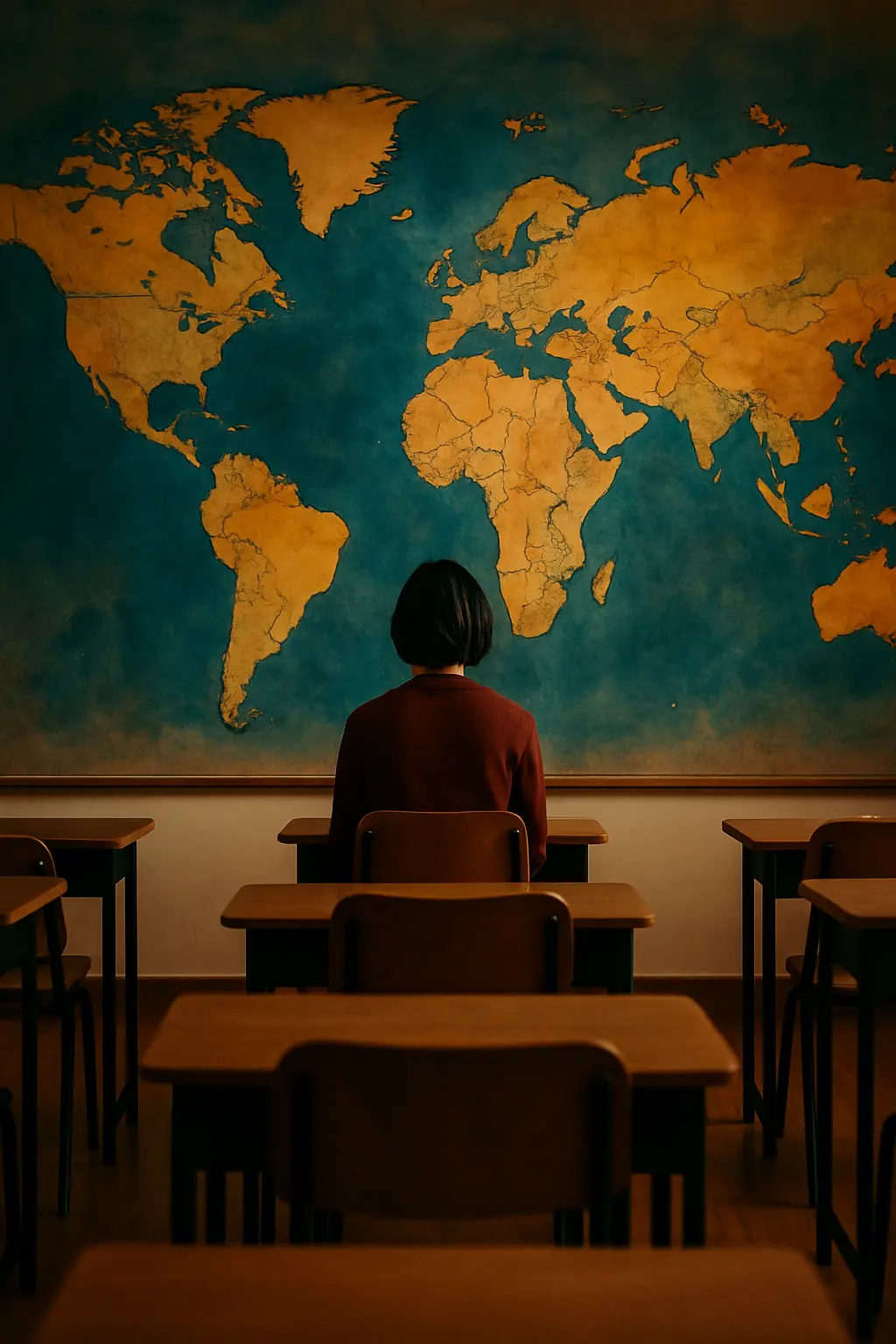
Beyond projection, the very act of naming constitutes a form of territorial claim. Colonial cartographers routinely labelled coastlines and interior regions using European place names, effectively overwriting millennia of indigenous nomenclature. A river known by the communities living along its banks for generations might vanish entirely from a European map, replaced by a name commemorating a distant monarch or a sponsoring merchant house. This erasure was not incidental to colonialism — it was, in many respects, one of its foundational gestures. To rename a place is to assert that its prior identity did not matter enough to preserve.

This same logic operated, with only slight variation, in the deliberate blank spaces that cartographers inserted into regions they had not explored. The phrase terra incognita, and the now-mythologised notion of 'here be dragons', did not reflect genuine ignorance so much as a refusal to acknowledge that these lands were thoroughly known — by the people living in them. Blankness was an invitation to colonisation, an implicit declaration that uncharted space was unclaimed space, available for whoever possessed the audacity and the ships to arrive first.
Contemporary digital mapping has not eliminated these dynamics so much as redistributed them. The algorithms that determine which cities receive detailed street-level imagery, which borders are displayed as contested or settled, and which languages appear in place-name labels all reflect choices — commercial, political, and cultural — made predominantly by a handful of technology companies based in the wealthiest nations. The cartographer's illusion, it seems, is not a historical curiosity but a persistent feature of how human beings translate the complexity of the world into the false clarity of a line drawn on a surface.